


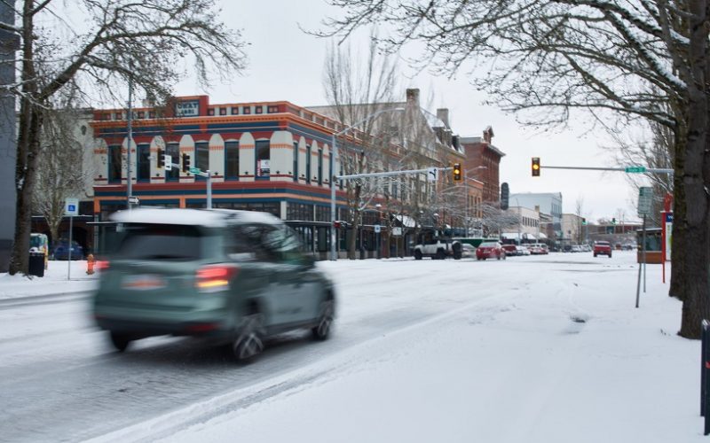
Salem, OR – Salem drivers are advised to exercise extreme caution on Friday as a thin layer of ice is expected to cover roads and bridges due to freezing rain overnight. According to the National Weather Service, between one and two-tenths of an inch of ice will accumulate, making travel dangerous, especially on elevated surfaces such as bridges and stairways. The ice is expected to melt as the day progresses, with temperatures climbing to a high of 43°F.
The freezing rain follows a significant snowfall on Thursday, with the Salem area receiving between 1 and 3 inches of snow, and Keizer reporting around 2.5 inches. The combination of snow and freezing rain has created hazardous conditions for drivers and pedestrians, prompting local authorities to issue warnings for cautious travel.
Due to the dangerous conditions, the Salem-Keizer School District has announced the closure of all schools and district offices on Friday. Additionally, the Salem Public Library, Center 50+, municipal court, and various other city offices will also be closed for the day.
Meteorologist Colby Neuman from the National Weather Service in Portland stated that while the ice buildup will be enough to affect transportation, it is not expected to be severe enough to bring down tree branches or power lines. “That scenario is pretty off the table at this point,” Neuman explained, adding that the amount of precipitation overnight will not reach the levels needed to cause widespread power outages or significant damage.
Temperatures are expected to rise above freezing by mid-morning, which will help to thaw the ice by the afternoon. A low of 31°F is forecast for Thursday night, and Friday’s temperatures will climb to around 43°F. However, residents are still urged to stay home if possible and limit travel to emergencies only.
The most hazardous areas will be bridges, elevated roads, and walkways, where ice is likely to remain longer than on ground-level surfaces.
As temperatures are set to increase over the weekend, residents can expect milder conditions, with highs reaching the mid to high 40s.